Snow forecast tonight
It is pretty summery out there today but meteorologists say snow is on the way.
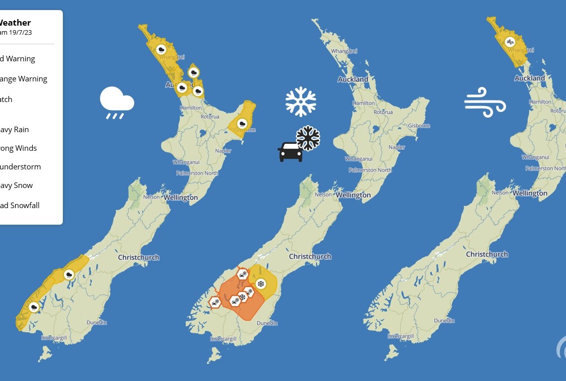
MetService has issued a Heavy Snow Warning for Queenstown Lakes and Central Otago above 600m from midnight tonight, and a Road Snowfall Warnings for the Crown Range, Milford Road, Lindis Pass, and Haast Pass.
There's also Heavy Rain Watches for Fiordland and Westland from today, as well as various North Island alerts.
Between 15-25cm of snow is expected to fall above 600m in Queenstown and Central Otago, with lesser amounts down to 300m. The warning is in place from midnight to 8am tomorrow.
"Heavy snow may disrupt travel in affected areas and could damage trees and powerlines. Cold conditions may cause stress for livestock," the MetService warning reads.
Between 10-20cm is expected to settle on the Crown Range and other alpine roads above 600m, with lesser lower down. The warning is in place from 1am to 8am.
Fiordland and Westland can expect a period of heavy rain, with amounts that many approach warning criteria, from noon today until 6am tomorrow.
The snow, if it comes, will provide a welcome boost for Queenstown Lakes skifields.
The Remarks has had 6cm in the past 72 hours and has a snow base of 15-72cm, with a season snowfall of 91cm. All seven chairlifts are open today.
Coronet Peak, meanwhile, hasn't had any natural snow at all recently, and has a snow base of 5-35cm, with an early season snowfall of just 31cm. Only three of the eight chairlifts are open.
Cardrona Alpine Resort hasn't had any snow in the past 24 hours. It has a snow base of 22cm at 1800m but doesn't report the season snowfall. Four of its seven chairlifts are open.
Treble Cone is now open, with a base of 22cm at Home Basin and 40cm in Saddle Basin. Saddle Quad is closed today, however, due to winds. Both Home Basin Express and Nice 'n' Easy Platter are open.
It could all look much better tomorrow, though, and colder snow-making temperatures are expected through to the end of the week.