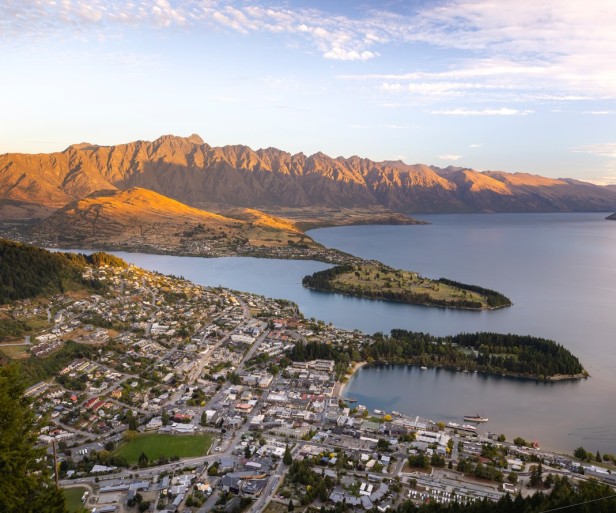
Skyline hill landslip being assessed
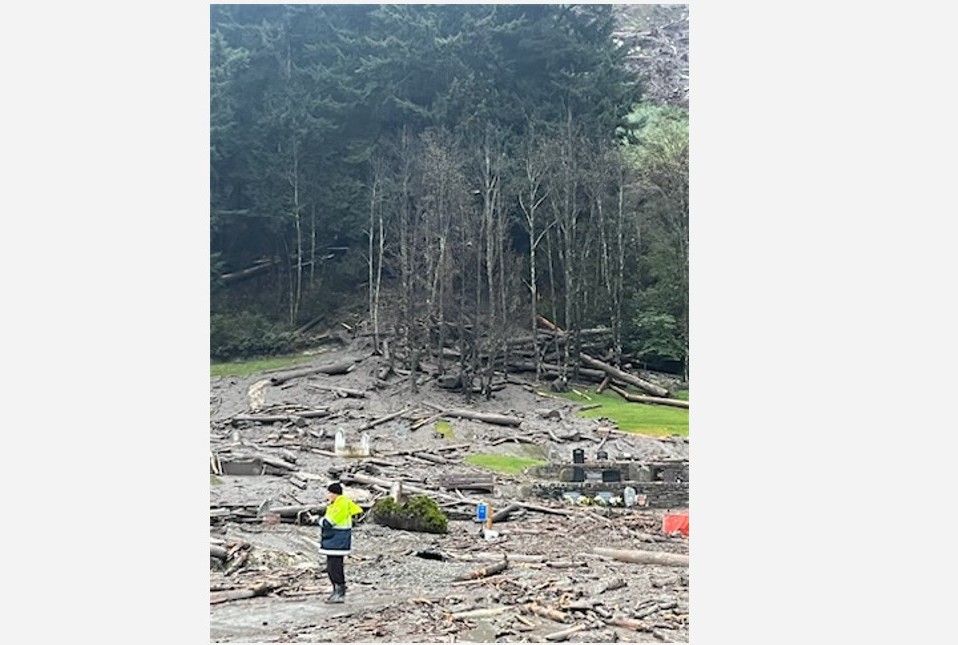
Geotechnical engineers are assessing the slope on Skyline hill after forestry slash debris flooded down into Queenstown town centre last night.
A large landslip caused by hours of torrential rain brought logs, mud and other debris down the hill, known as Bob's Peak, through Queenstown Cemetery and into Upper Brecon Street and beyond.
There was also separate flooding into residential communities off nearby Gorge Rd, including Reavers Lane, Fryer Street and Hamilton Road.
"The rain has now cleared and further assessments are underway," a council spokesperson says.
"The affected areas are set to be assessed by a geotechnical engineer supported by a drone operator to get a clearer understanding of the extent of the damage."
An initial clean-up operation is already underway for Isle Street, Robins Road, Duke Street, Shotover Street and Camp Street. Emergency services, Alliance, Downer and Skyline staff are all assisting.
There are no reports of any casualties.
NIWA says Queenstown recorded 87 millimetres of rain from 9am yesterday to 9am today - its wettest day in 24 years. Wānaka recorded 98mm over the same period, its wettest day in 17 years.
Both locations had over a month's worth of rain in a day.
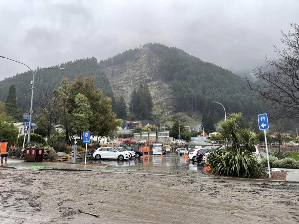
Photo: Joseph Mooney MP / Facebook
Businesses in Queenstown are open unless they are inside the listed affected areas.
"The town centre is open and accessible, please take extra care and follow all safety signage and instructions in place."
Large trees on sections of the Queenstown-facing slope of Skyline hill have been cut down over the past year to make way for a new 10-seater gondola to the iconic Queenstown attraction.
Council staff are working to understand the priority buildings downtown and in the residential communities for assessment.
"This will occur as and when it is safe to do so," the spokesperson says.
"Council staff are directly contacting those who have been evacuated and will continue communication with them over the course of the day."
Mayor Glyn Lewers declared a local state of emergency this morning, which will be in place for seven days.
There are other road closures throughout the district – these are listed on the QLDC website. A map will be available at 2pm.
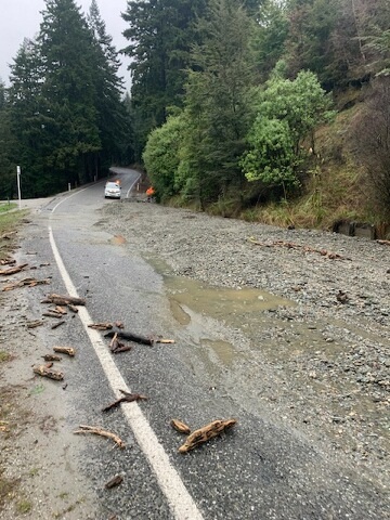
Queenstown-Glenorchy Rd, just after the One Mile Roundabout. Photo: QLDC
Check the QLDC website for the latest information – https://www.qldc.govt.nz/weather-event-sep23
As a reminder, a boil water notice remains in place for all properties serviced by the council’s Queenstown supply including Frankton, Quail Rise and Tucker Beach Rd, Kelvin Heights and Hanley’s Farm.
Further details here: https://www.qldc.govt.nz/community/emergency-management/cryptosporidium-outbreak-advice-and-information
Next update expected approximately 2pm.


