Mapping Queenstown's pre-human wildlife
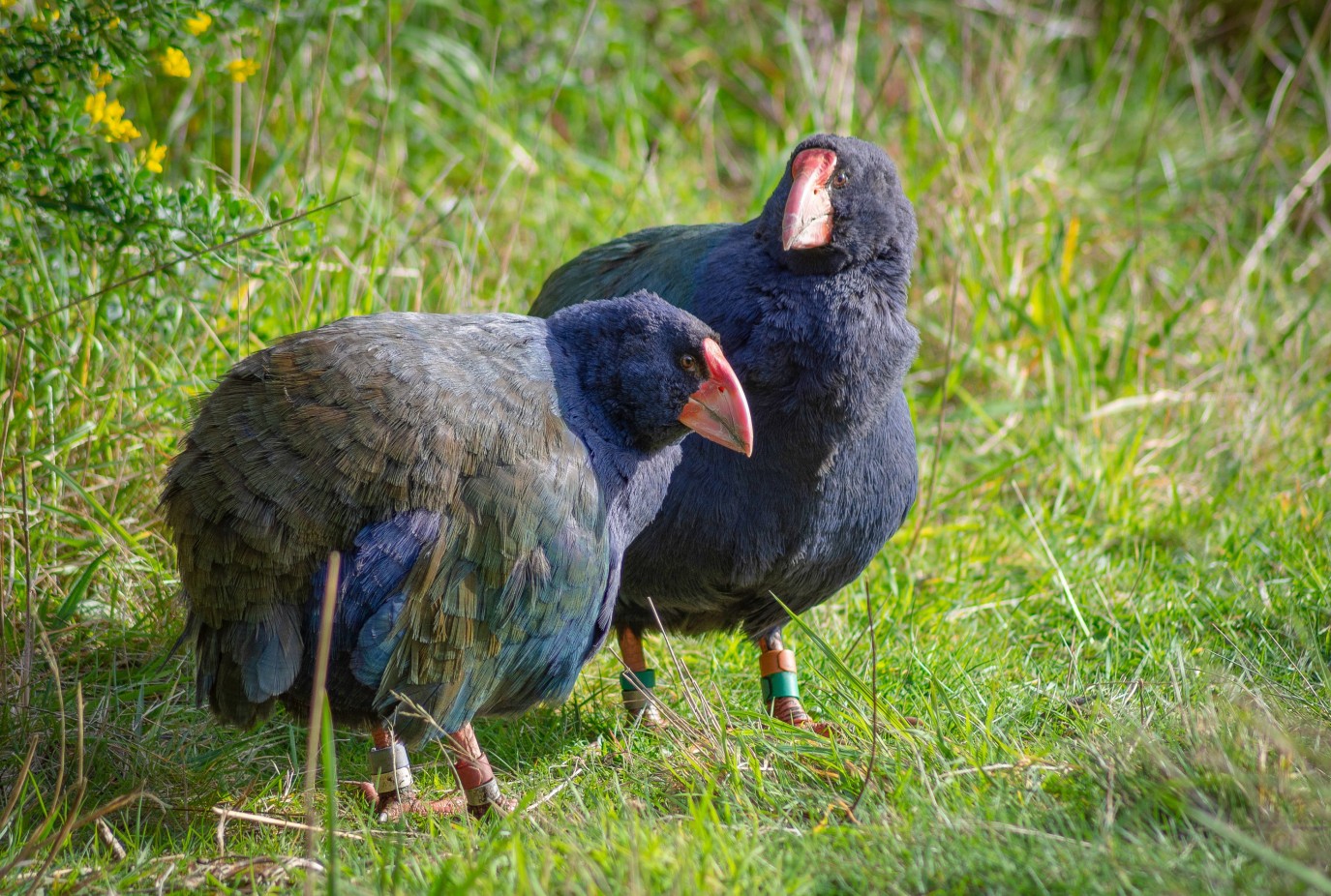
One of New Zealand’s largest conservation groups has released a ground-breaking biodiversity report today – the first of its kind in New Zealand.
Southern Lakes Sanctuary (SLS) is launching an interactive geographic information system (GIS) map – developed by Wildlands Consultants – which provides a comprehensive breakdown of wildlife species that existed in the Queenstown Lakes District, pre-human arrival.
SLS project director Paul Kavanagh believes that the multi-layer GIS map is the first of its kind in NZ and provides a conservation blueprint into what optimal biodiversity looks like for the region.
“This mapping system not only reveals what species existed before human arrival, but also what wildlife was common prior to the introduction of invasive mammalian predators such as stoats, ferrets, possums and feral cats,” Kavanagh says.
“It’s remarkable to see that endangered birds such as the great spotted kiwi may have once roamed Mt Iron in Wānaka and takahē could have been fossicking close to our office on Glenda Drive in Queenstown.
“The impact of introduced predators has been devastating in our area and it is critical that we conserve the native taonga (treasures) we currently have, and mitigate further biodiversity loss, through ongoing predator control,” he adds.
The multi-layered GIS map was commissioned by the conservation group and developed through Wildlands Consultants, with funding support from Queenstown Lakes District Council (QLDC).
QLDC Resilience and Climate Action manager Bill Nicoll says the Sanctuary’s mapping system provides invaluable information to support the district’s conservation efforts.
“Our hope is that the new mapping platform assists the broad number of organisations, groups and individuals who are undertaking biodiversity restoration initiatives across the district,” he says.
Queenstown Lakes mayor Glyn Lewers says he is also supportive of the project.
“Council has made a clear commitment to tackle both the ecological and climate emergencies, so we are proud to have supported this innovative project as part of the district’s Climate and Biodiversity Plan,” Lewers says.
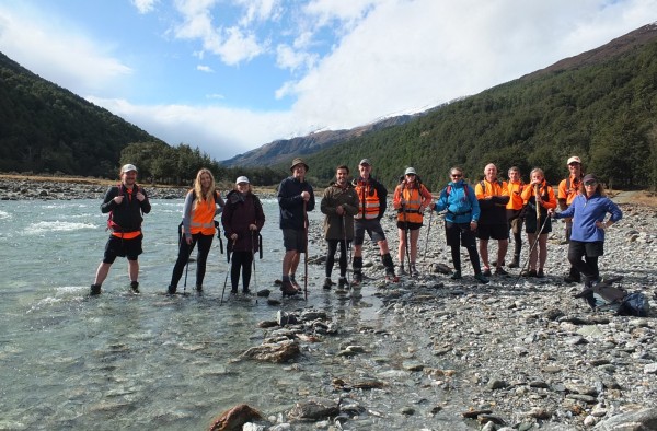
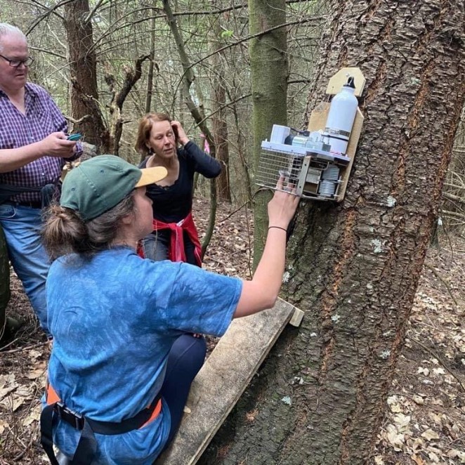
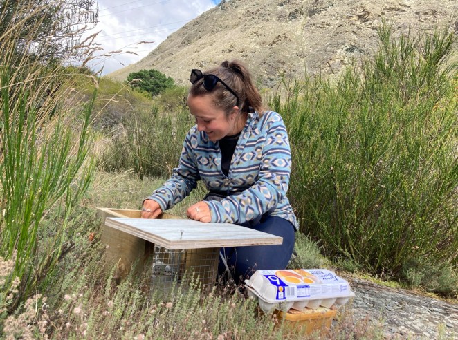
Southern Lakes Sanctuary staff members working in the Rees Valley
The interactive map categorises historical wildlife into groups – birds, bats, invertebrates and lizards and amphibians – and builds upon the floral (plant) report Wildlands Consultants previously produced for Otago Regional Council, in 2020.
Southern Lakes Sanctuary’s work involves trapping invasive predators to support local biodiversity and protect native species in the Queenstown Lakes District.
“A wide variety of data sources and records were used to define the habitats in the previous floral (plant) report, and by using current sightings, historical records and in-house knowledge, indigenous animal species were then assigned to each habitat type,” Kavanagh explains.
Southern Lakes Sanctuary – created out of the soon-to-be-exhausted Jobs For Nature fund – is an innovative conservation group that supports nearly 100 local groups across a 660,000-hectare catchment area and is dependent on large and small donations to continue the crucial conservation work.
The new map will be freely available and hosted on the Spatial Data Hub section of the QLDC website.
