Emergency Operations Centre set up to co-ordinate response to localised flooding
As a result of another period of heavy rain and strong winds, Queenstown Lakes District Council (QLDC) has set up an Emergency Operations Centre (EOC) in tandem with Emergency Management Otago (EMO) and other related organisations to co-ordinate preparations for – and any response required to – localised flooding.
A single-source-of-truth webpage has been created on the QLDC website at https://www.qldc.govt.nz/october-weather-event/
Updates will also be provided via Facebook @QLDCinfo and the Council’s community text alert service. For more information about this visit https://www.qldc.govt.nz/do-it-online/community-text-alert-sign-up/
A quick summary of the latest situation is as follows:
-
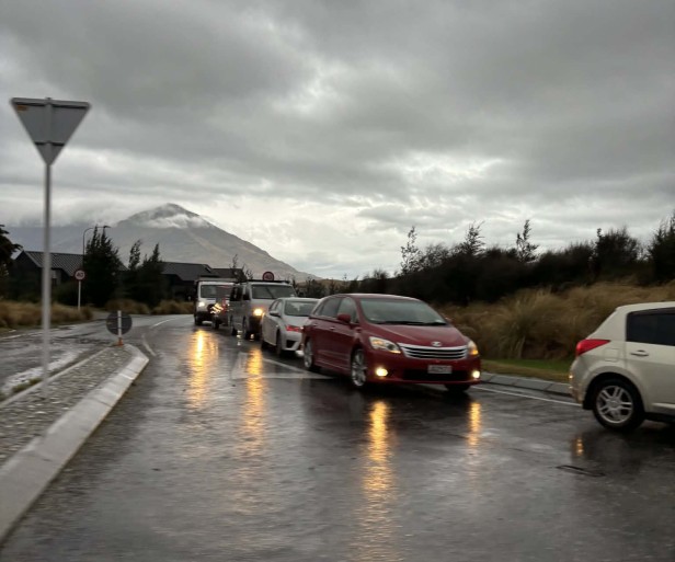
Rainfall/wind – a MetService Heavy Rain Warning ended at midday today (Thursday). Lake levels will peak after rainfall eases as streams and rivers drain into them (see below for more). Road snowfall warnings remain in place for Crown Range Road and Lindis Pass from 6.00-11.00pm tonight. A strong wind ‘orange’ warning remains in place until 3.00pm.
-
Roads – the following roads are closed due to flooding:
-
SH6 (Haast Pass) between Makarora and Haast.
-
Mount Aspiring Road after the Treble Cone turn-off; there is currently no access to Mount Aspiring National Park.
-
Glenorchy-Paradise Road and Rees Valley Road north of Glenorchy.
-
Glenorchy Road between One Mile and Sunshine Bay turnoff.
-
Moke Lake Road at RP 3.17 (i.e. third cattlestop).
-
Many other roads are affected by surface flooding and rockfalls; please drive with extreme caution – slow down, increase following distances and keep headlights on.
-
-
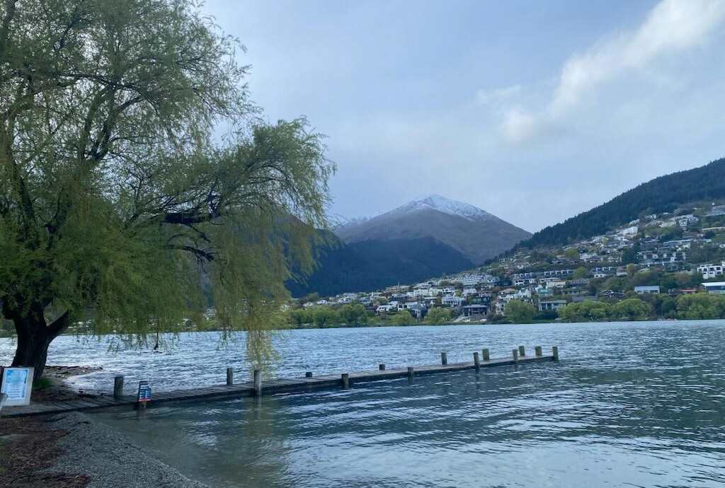
Lake Whakatipu – lake level is now forecast to peak at 311.4m in the early hours of Friday morning. This is likely to result in flooding in low-lying lakefront areas in Kingston and the Queenstown waterfront. Stormwater systems in Queenstown Bay will also likely start backing up. Strong onshore winds are likely to cause wave run-up and significant driftwood debris around the Queenstown Bay foreshore and Earnslaw Park areas.
-
Lake Wānaka – lake level is forecast to peak at 279.5m in the early hours of Friday morning. This is expected to cause flooding around the foreshore but it is not expected to flow across Ardmore Street. Businesses should remain alert but no significant impacts are expected at this stage.
-
Glenorchy Lagoon – forecast to peak at 312.6 m late Thursday/early Friday. This will likely result in localised flooding to the north-west of the township and around the foreshore area. QLDC is working closely with the local Community Resilience Group to communicate with affected residents.
-
Rivers – all major rivers have peaked but remain elevated. Grounds are saturated and any further rainfall will quickly translate into higher flows with ongoing risk to vulnerable roading networks.
Information and advice was provided to local tour operators and businesses, particularly those located on lakefronts, on Tuesday afternoon via Destination Queenstown, Lake Wānaka Tourism and the two Chambers of Commerce. Further information will be provided directly via these groups today. In summary:
-
Clear drains, gutters and grease traps.
-
Check insurance and emergency contacts.
-
Review your Business Continuity Plan and ensure staff are aware.
-
Move vulnerable stock/equipment to higher ground.
Sandbags
QLDC will be making sandbags available at the Queenstown waterfront and Kingston as a first priority from mid-afternoon today. This is a precautionary measure for businesses and homeowners who wish to use them.
-
Queenstown – Supplies of sand and 25kg sandbags will be available in two locations on Queenstown CBD’s lakefront, near the Moa Statue and the Memorial Arch. Contractors will be on site to supervise collection and ensure bags are filled correctly and safely. Several shovels are available for use at both sites, but please bring your own shovel if you can and appropriate transport to safely take the sandbags away.
-
Kingston – Supplies of sand and 25kg sandbags will be available in Kingston on Kent Street by the Fire Station. Representatives from the Kingston Community Resilience Group will be onsite to support collection and ensure bags are filled correctly and safely. Several shovels are available for use, but please bring your own shovel if you can and appropriate transport to safely take the sandbags away.
-
Other areas – Planning for other locations is underway and will be deployed if lake levels continue to rise to a point where businesses or properties are at risk.